+964-7716990999 - ( Sat - Thusday)
 PHOTOGRAMMETRY
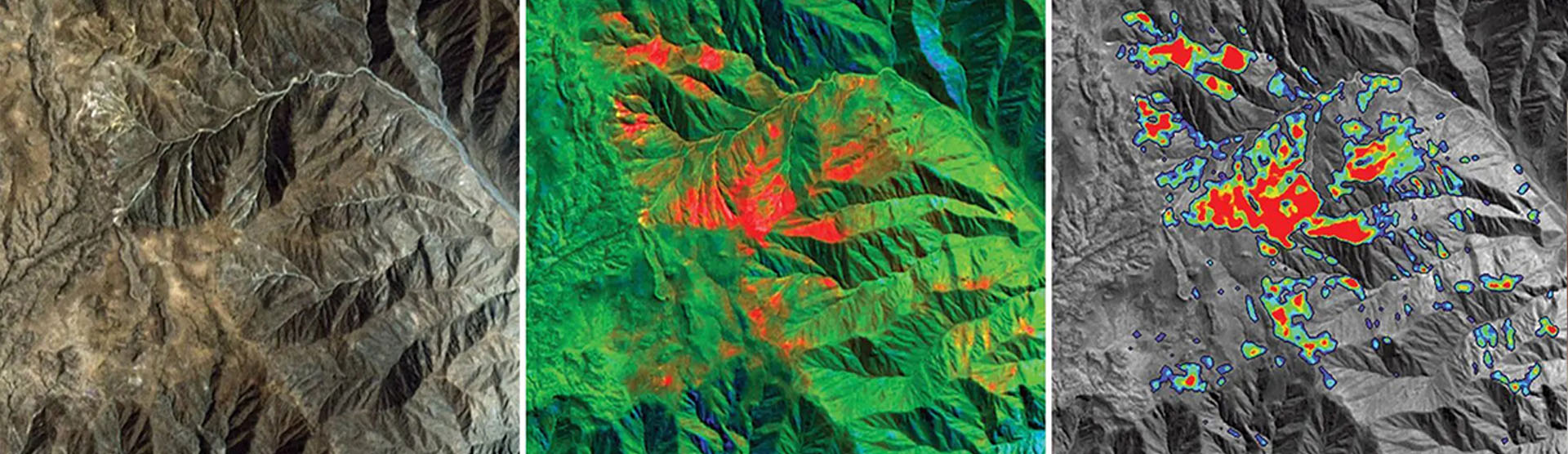 GIS & REMOTE SENSING ANALYSIS
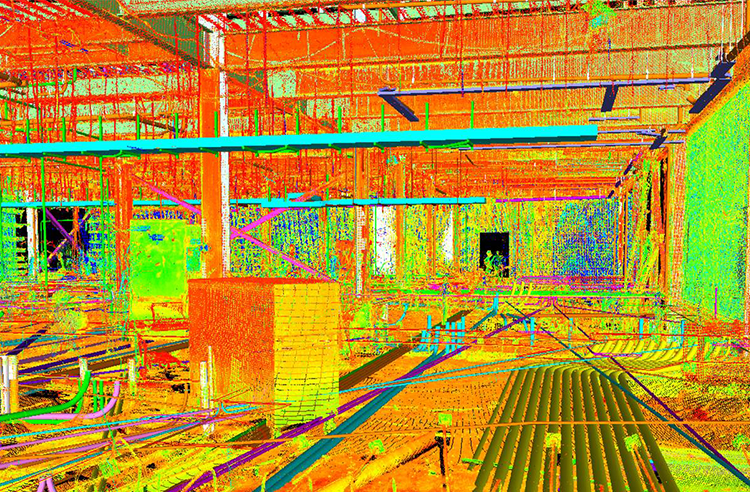
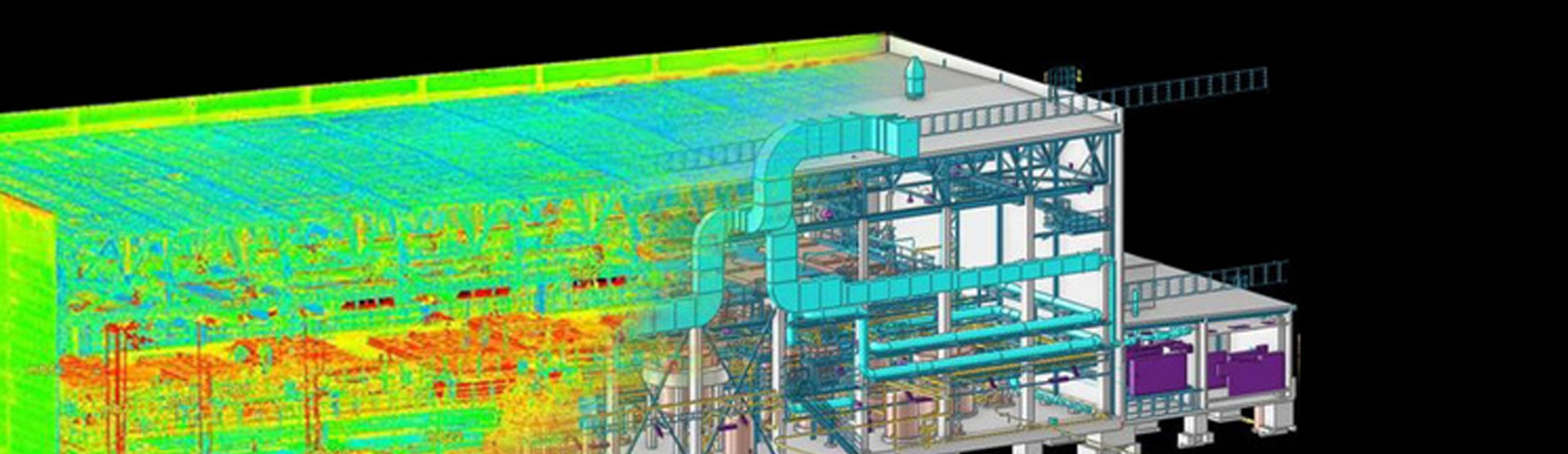 SCAN TO BIM

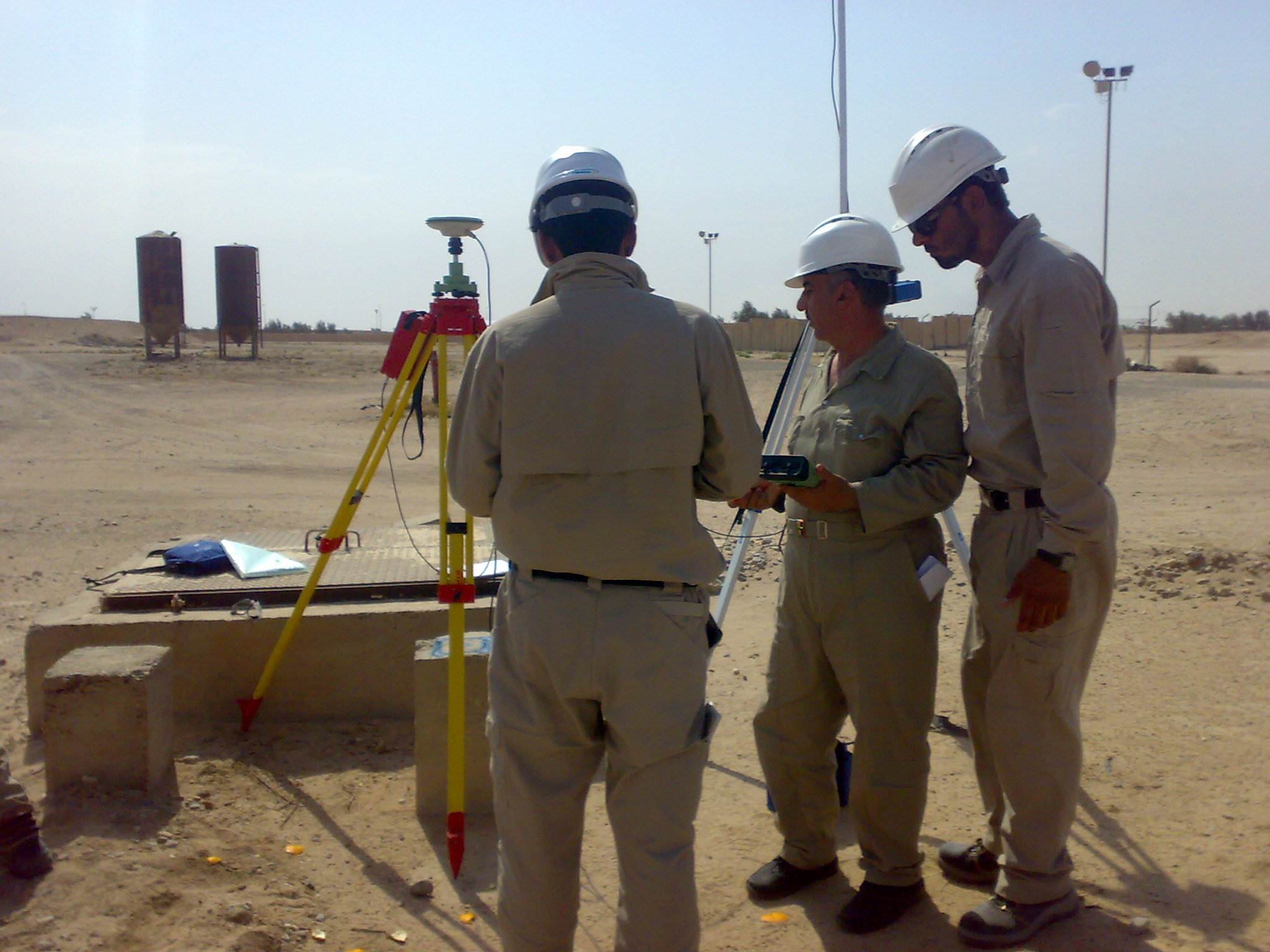
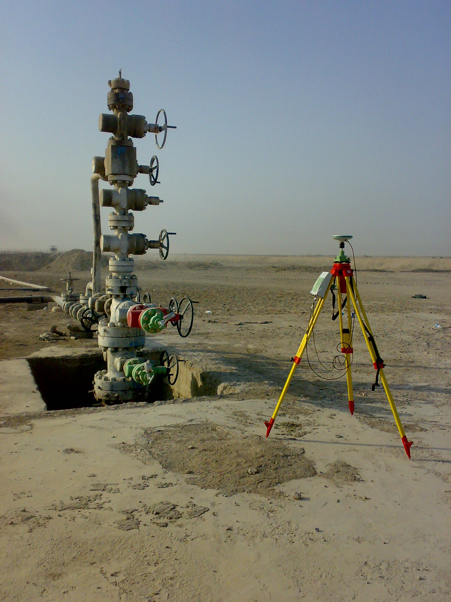
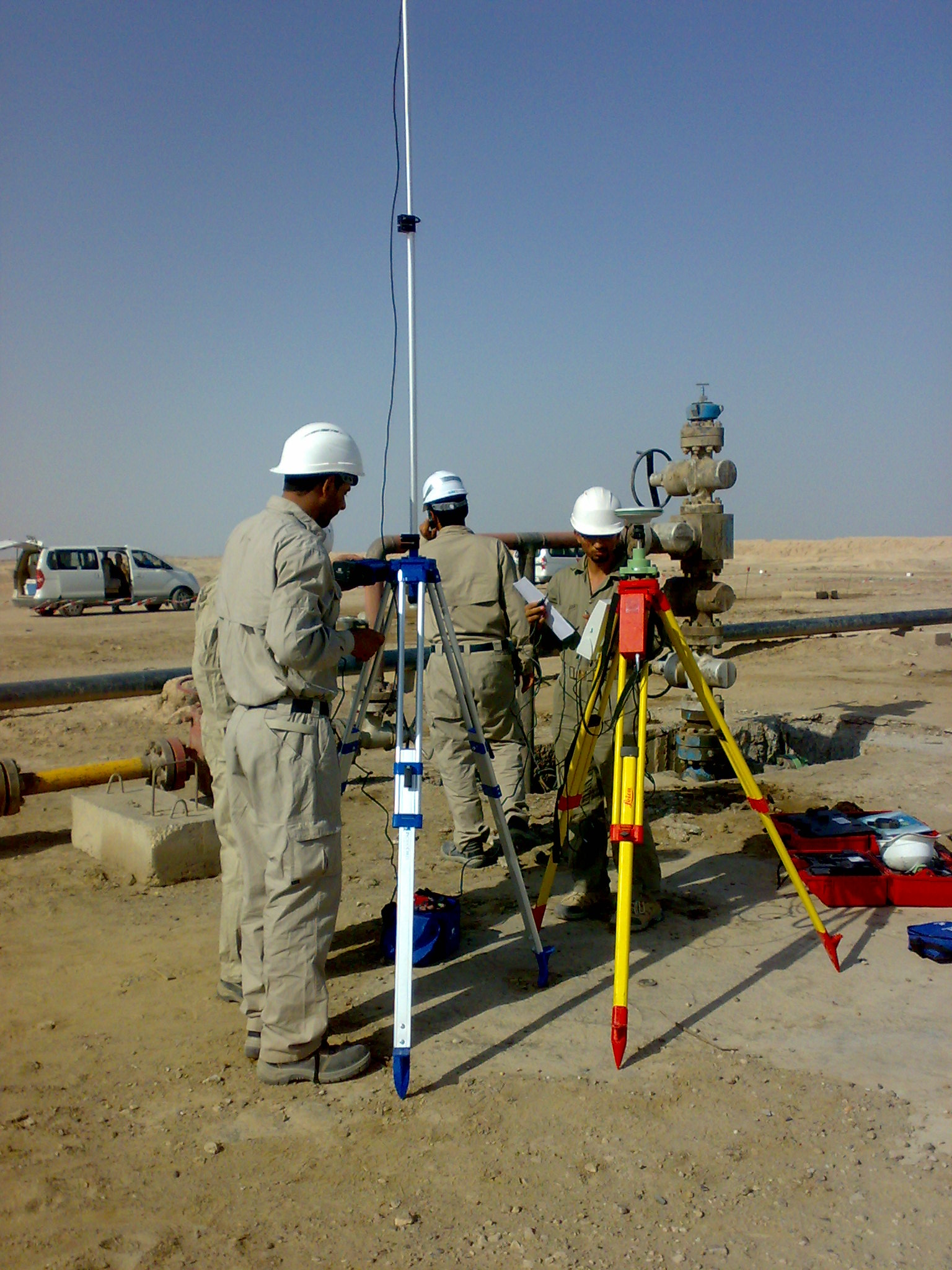
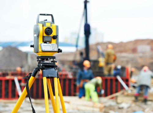
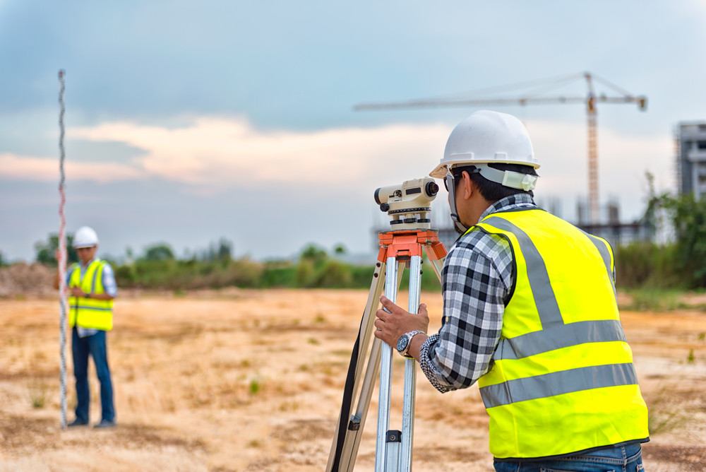
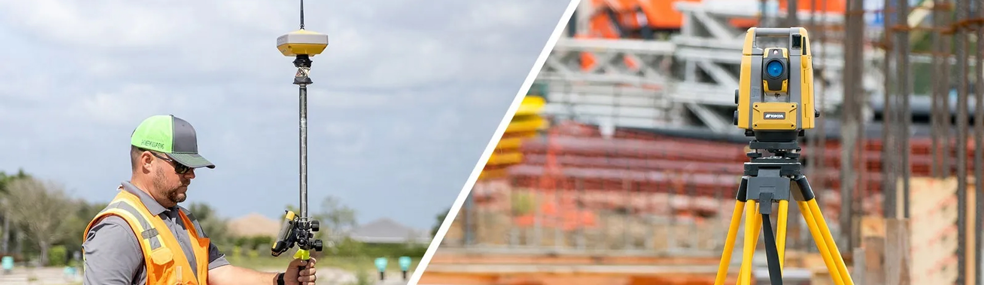
TOPOGRAPHIC SURVEY
Topographic Surveys are used to identify and map the contours of the ground and existing features on the surface of the earth or slightly above or below the earth's surface.

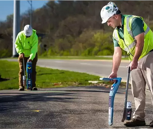
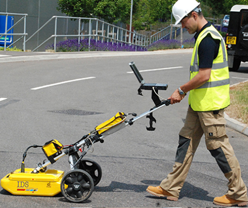
UNDERGROUND UTILITIES MAPPING
Underground utility mapping refers to the detection, positioning and identification of buried pipes and cables beneath the ground.

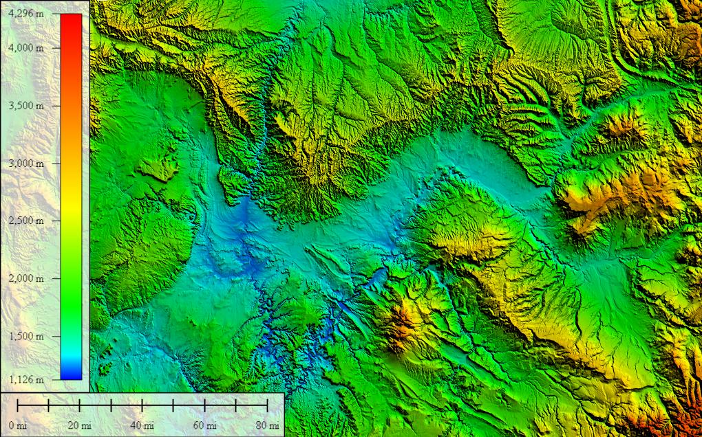
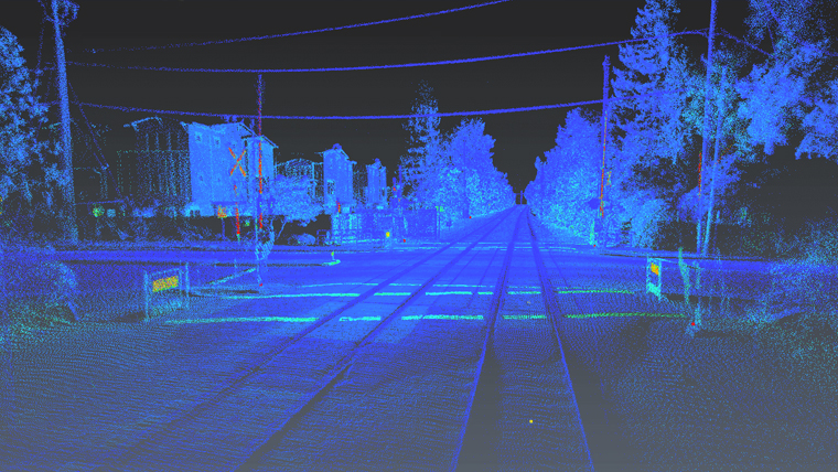
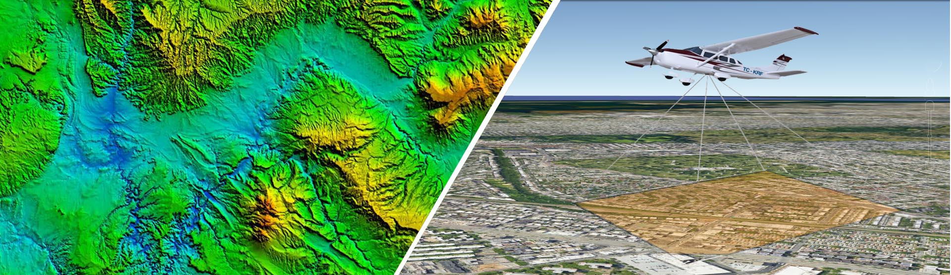
LIDAR MAPPING
LiDAR is used to create incredibly detailed maps in addition to assisting researchers in the fields of geography, archeology, geology, seismology, atmospheric sciences, laser studies, and much more.
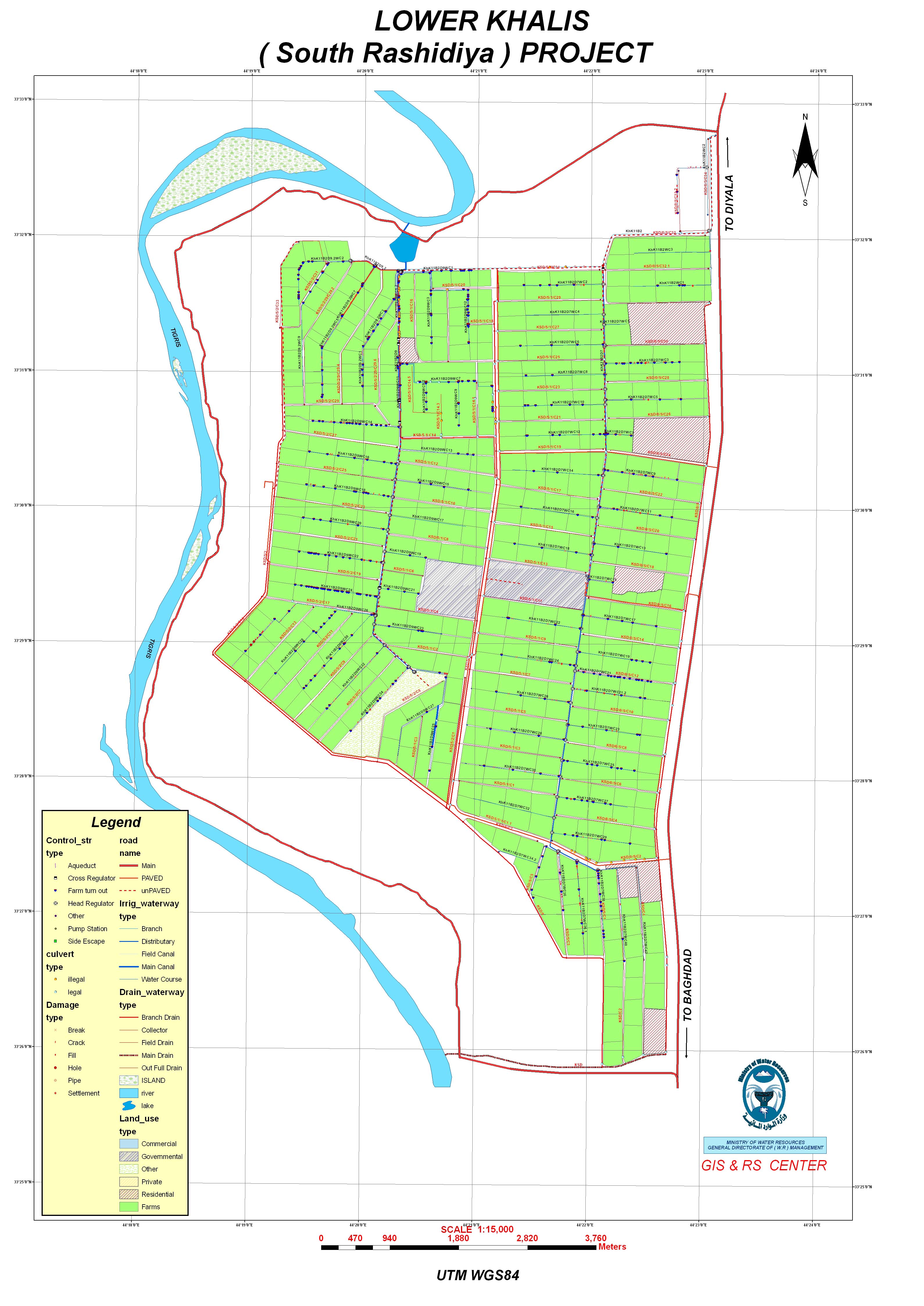
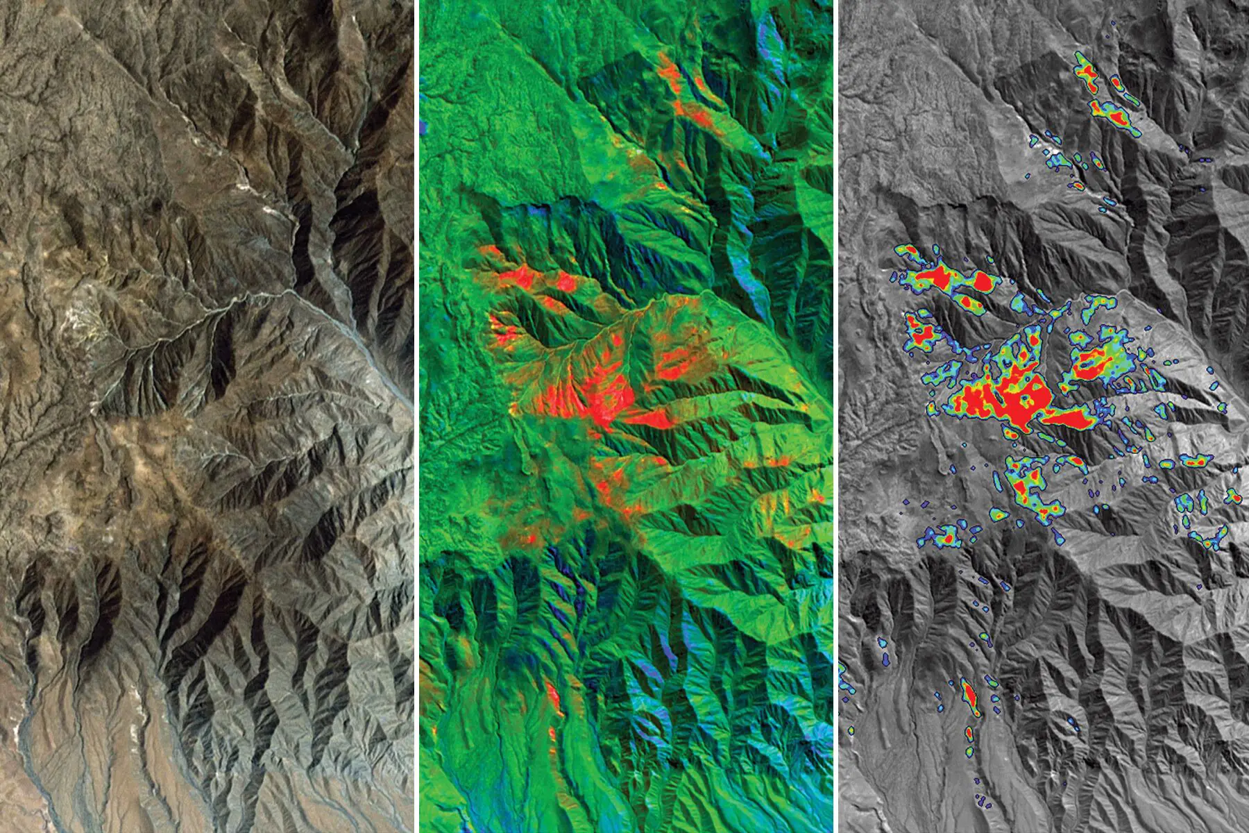
GIS & REMOTE SENSING
GIS data constitutes geological data, data from maps, topographical information, and information derived from satellite images and other aerial platforms

BIM MODELING
Building Information Modeling (BIM) enables architects, designers, engineers, and project managers with an improved mechanism to approach the design, documentation, and management of building projects.

PHOTOGRAMMETRY SERVICES
We provides digital UAV-Aerial Photogrammetric mapping services in the sector of government and commercial users.