+964-7716990999  - ( Sat - Thusday)

+974-3089 6008  - ( Sat - Thusday)

+974-3089 6008  - ( Sat - Thusday)

+974-3089 6008  - ( Sat - Thusday)

SERVISES

TOPOGRAPHIC SURVEY 


Topographic Surveys are used to identify and map the contours of the ground and existing features on the surface of the earth or slightly above or below the earth's surface which are represented by text, lines and symbols on the drawing or maps.  The maps and contours created during this survey will be used as the base map for the project irrespective of the fact where the project is a residential building, commercial structure, bridge, road or any other developmental structure


UNDERGROUND UTILITIES MAPPING


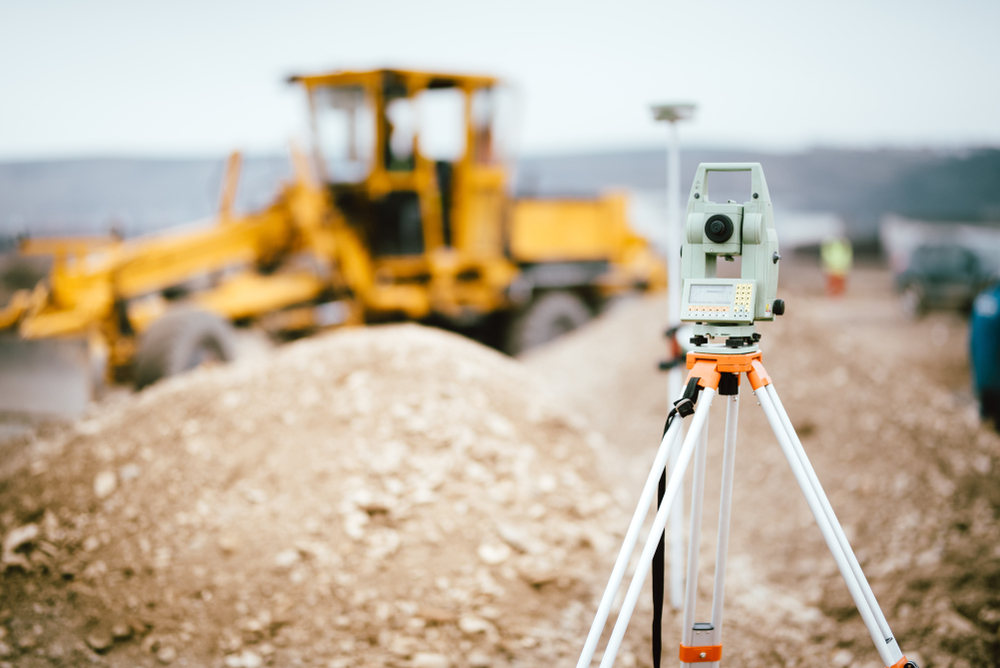
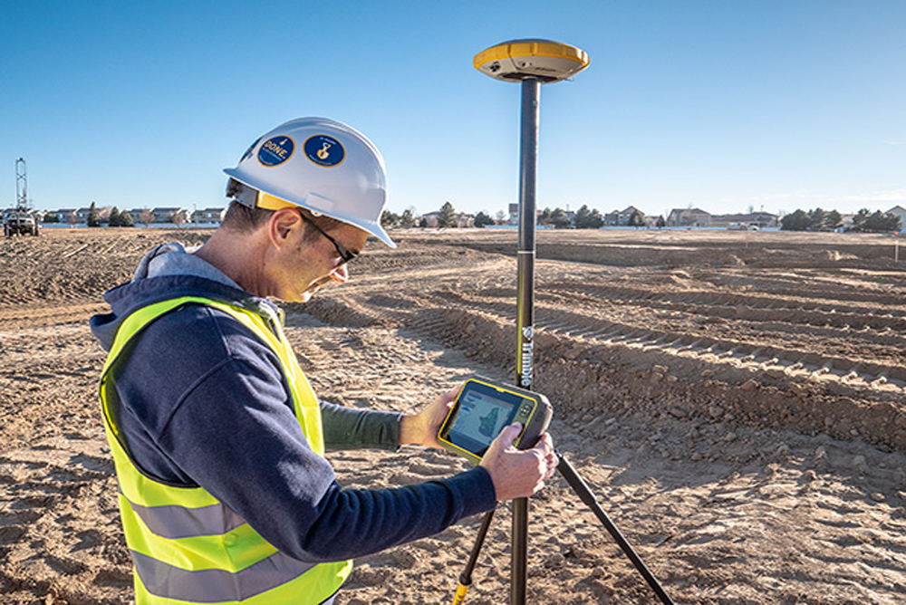
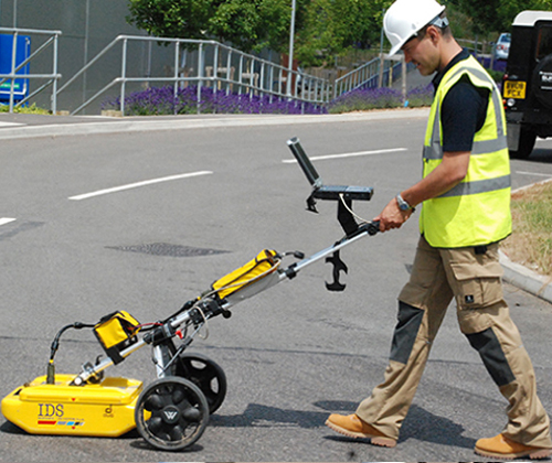
Underground utility mapping is a process of identifying the position and labelling public utility mains (drainage, foul sewer, water main, oil and gas lines, power cables, fiber optic cables, telecom cables and ducting) which are located underground. These mains may include lines for telecommunication, electricity distribution, natural gas, water mains and wastewater pipes. In some location, major oil and pipe lines, national defense communication lines, mass transit, rail and road tunnels also compete for space underground. Underground utility mapping refers to the detection, positioning and identification of buried pipes and cables beneath the ground. It deals with features mainly invisible to the naked eyes. While the determination of position can be obtained with conventional or modern survey equipment, the detection and identification of underground utilities require special tools and techniques. Principally, underground utility mapping is the combination or marriage between two major fields of knowledge namely; geophysics and geomatics


LIDAR MAPPING


Light Detection and Ranging (LiDAR) can determine how far objects are away from each other by shining a laser onto a target and analyzing the light that bounces back. LiDAR is used to create incredibly detailed maps in addition to assisting researchers in the fields of geography, archeology, geology, seismology, atmospheric sciences, laser studies, and much more.

LiDAR data processing is most effective in the field of geographical system and of remote sensing for creating Digital Elevation Model, Digital Terrain Model and many other surface models. We have the complete understanding of all types of data in LiDAR system and has developed custom built utilities for easy classification of LIDAR points.


PHOTOGRAMMETRY SERVICES


The stereo images are used to capture data from small, medium and large scale stereo models and prepare digital topographic map with high quality, accuracy and efficiency. We provide accurate digital planimetric feature extraction for cartography mapping and 3D topo mapping in industry accepted standard formats.


  1. Planimetric services to collect information on roads, highways, lands, railways, water bodies, layouts, vegetation through aerial imaging
  2. Aerial photogrammetry services that are designed to help generate accurate measurements when it concerns with projects related to land development as well as a model for actual physical characteristics
  3. Digital Elevation Model (DEM)
  4. Contour Generation
  5. Stereo Editing of LiDAR Points 
  6. Digital Terrain Models
  7. Orthophoto Production
  8. 3D Collection of Aviation Features for Airports
  9. Aero Triangulation and Bundle Block Adjustment
  10. Terrain mapping with up to 2 feet of accuracy
  11. High definition digital topography maps with scales of 1:100000
  12. Expertise in latest technologies, 3D modeling, quality control, and large-scale projects


GIS & REMOTE SENSING


Geospatial Services can help in the design, development, and implementation of a GIS System.

Our Geospatial Services includes high quality GIS data for our partners that too within their budget. This is most important for successful completion of our projects.

GIS data constitutes geological data, data from maps, topographical information, and information derived from satellite images and other aerial platforms. The crucial elements and dependability of Geospatial data centers in the accuracy of the GIS data made available.


BIM MODELING


BIM or Building Information Modelling could be a method for making and managing info on a construction project across the project lifecycle. one among the key outputs of this method is that the Building info Model, the digital description of each side of the engineered quality. This model attracts info assembled collaboratively and updated at key stages of a project. making a digital Building info Model permits people who move with the building to optimize their actions, leading to a bigger whole life price for the quality.